Vlkslotzi / Field notes
Terrain
Elevation is only one part of a mountain. Aspect, water, forest history and the season decide what a height actually feels like underfoot.
These bands are a reading aid, not fixed ecological borders. A shaded Dinaric hollow and a sunny Carpathian slope at the same height can hold very different conditions.
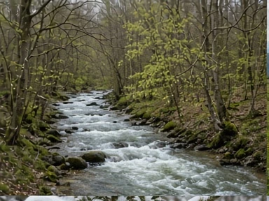
400 m · Where water gathers
River corridors carry cool air, silt and the traces of many journeys. A soft bank may record a passing foot clearly, while a stony reach keeps almost nothing. Floodwater can erase both in an afternoon.
Notice the connection between a valley floor and the side gullies climbing into cover. Keep to established crossings: a quiet-looking stream says little about its depth or the strength of its current.
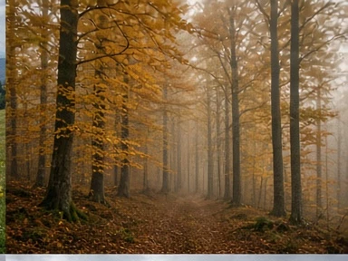
800 m · The broadleaf belt
Beech woods make their own calendar. Before the canopy closes, light reaches the forest floor; by high summer the same slope can feel like a green room. Autumn leaf litter muffles movement and hides the ground that would otherwise hold a print.
In Šumava and across parts of the Carpathians, beech mixes with other trees according to slope, moisture and past management. Read the actual stand rather than expecting an elevation number to name it.
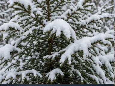
1200 m · In the long shade
Conifers shelter the ground from wind but can also keep it cold. Snow under dense branches, snow in a clearing and snow on a forest road settle differently. A neat sequence of prints on one surface may be unreadable a few steps farther on.
Forest roads and saddles can offer efficient lines through this belt. A line on the ground is evidence of movement, not an invitation to follow it into cover.
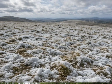
1700 m+ · Above the shelter
On an exposed ridge, wind rearranges the page. Snow scours away from one patch and gathers deeply in another; cloud can remove the view long before a walker expects it. In the Tatras, exposed high ground deserves particular care and current local information.
Timberline is neither level nor constant across these ranges. The Dinaric landscape adds limestone depressions and broken surfaces, while other uplands offer rounder profiles. Use a current map, heed closures and choose conditions within your experience.
The country between the bands
A wolf’s movement does not stop at an altitude label. Water, cover, prey, disturbance and the shape of the land interact at every height. The useful question is not “which band contains the animal?” but “what makes this patch of ground different from the next?”